Trail Walking Canillas de Aceituno - Canillas de Aceituno - Photo
© OpenStreetMap contributors
Length
Length
6.3 km
Max alt
Max alt
797 m
Uphill gradient
Uphill gradient
184 m
Km-Effort
Km-Effort  
8.9 km
Min alt
Min alt
648 m
Downhill gradient
Downhill gradient
207 m
Boucle
Boucle
Yes
Creation date :
2020-11-09 11:23:24.026
Updated on :
2020-11-10 09:23:53.333

(0 Reviews)

Walking
Walking
1h58
Difficulty : Easy

Scan this QR Code to open this trail in the SityTrail application

FREE GPS app for hiking

Logo SityTrail SityTrail

IGN / Geographical institutes

Download SityTrail from the App Store Download SityTrail from Google Play

Logo SityTrail SityTrail World

The world is yours!

Download SityTrail from the App Store Download SityTrail from Google Play Download SityTrail on Huawei AppGallery

About

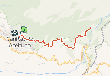
Trail Walking of 6.3 km to be discovered at Andalusia, Malaga, Canillas de Aceituno. This trail is proposed by jpipacific.

Description

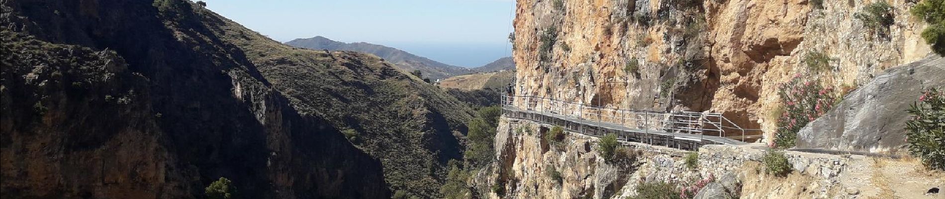
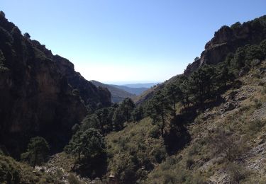
Promenade sympathique. Pas trop difficile. C'est un petit "Camino del Rey". Les paysages sont jolis.
La ballade peut être prolongée en passant le pont suspendu.
C'est une promenade connue et il y a un peu de monde .

Paseo amistoso. No es muy difícil. Es un pequeño "Camino del Rey". Los paisajes son bonitos.
La caminata se puede extender cruzando el puente colgante.
Es un paseo muy conocido y se llena un poco.

Elevation profile

Photos

Positioning

Country:
Spain
Region :
Andalusia
Department/Province :
Malaga
Municipality :
Canillas de Aceituno
Location:
Unknown
Start:(UTM)
403568 ; 4081498 (30S) N.

Trails nearby

Trail Walking Canillas de Aceituno - la maroma - Photo
Walking
bellouelo46

Walking

Medium
Canillas de Aceituno, Andalusia, Malaga, Spain
23 km | 47 km-effort
8h 54min
No
Trail On foot Canillas de Aceituno - Sendero El Saltillo - Photo
On foot
GUIDE+

On foot

Easy
Canillas de Aceituno, Andalusia, Malaga, Spain
4.4 km | 5.9 km-effort
1h 20min
No


Close
My subscriptions